Empowering Data Centricity. Accelerating Decision Dominance.
Competition and conflict are constantly evolving. Tomorrow's battlespace will be more complex and contested. Assured data access and converged digital intelligence are essential to sustaining the information advantage against peer adversaries. Join us at TechNet Augusta to learn how Cubic's portfolio of complementary SATCOM, baseband, and digital intelligence capabilities empower data centric operations and accelerate decision dominance at the edge.
Zero Trust at the Edge
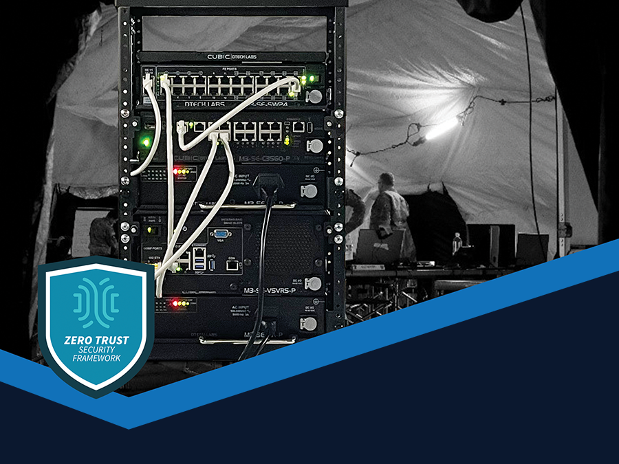
Combining enterprise-class computing and networking with the most scalability available in a modular form factor, the M3-SE is suitable for use at multiple echelons that require advanced applications and many users for at-the-halt and quick-halt operations.
The M3-SE serves as the ideal secure edge computing platform for the Zscaler Zero Trust Exchange and delivers a Zero Trust architecture built for cloud and mobility. See how this integrated solution can support the U.S. Army in realizing its vision for a unified network secured and defended by a Zero Trust Architecture by 2027.
Resilient SATCOM
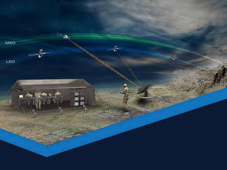
Cubic's Multi-Orbit Multi-Band Antenna is the only triband multi-domain tracking terminal that can connect to GEO, MEO, and LEO orbits across Ka, Ku, and X-Bands without the need to change hardware. Removing the need to change any RF components creates a best-in-class user experience and the most resilient COTS terminal ever produced.
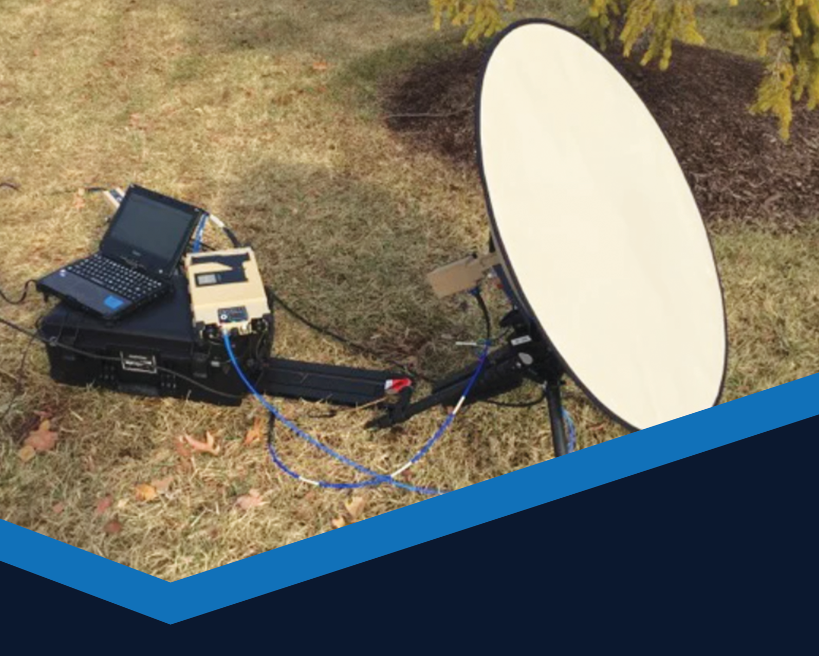
FLEX 75cm Satellite Terminal
The Cubic FLEX terminal, with included power supply, GATR 950 modem, and FlexMove service by Intelsat General, sets new standards in portable satellite technology. The combined solution weighs less than 70 lbs and delivers an end-to-end global managed service, enabling always-on broadband capabilities with user-friendly, reliable satellite connectivity. Small enough to fit into a single airline carry-on case and with a rapid tool-less setup possible in under five minutes, FLEX is perfect for operators that need to establish satellite communications at the tactical edge.
Access the World
HiPER LOOK is a high-performance map server for automatically streaming large volumes of imagery, maps, and terrain data via OGC-compliant web services (WMS, WMTS, WCS, KML).
KiOSK enables users to create custom packages of geospatial data to bring HiPER LOOK capabilities to the tactical edge by generating HiPER DRIVE tactical servers.
HiPER DRIVE expands the capabilities of the HiPER LOOK, delivering HiPER LOOK capability in a standalone server deployed on a commodity hard drive and used over a small tactical LAN. HiPER DRIVE includes an embedded web viewer, which allows users to complete their mission in disconnected environments.
The Future of FMV
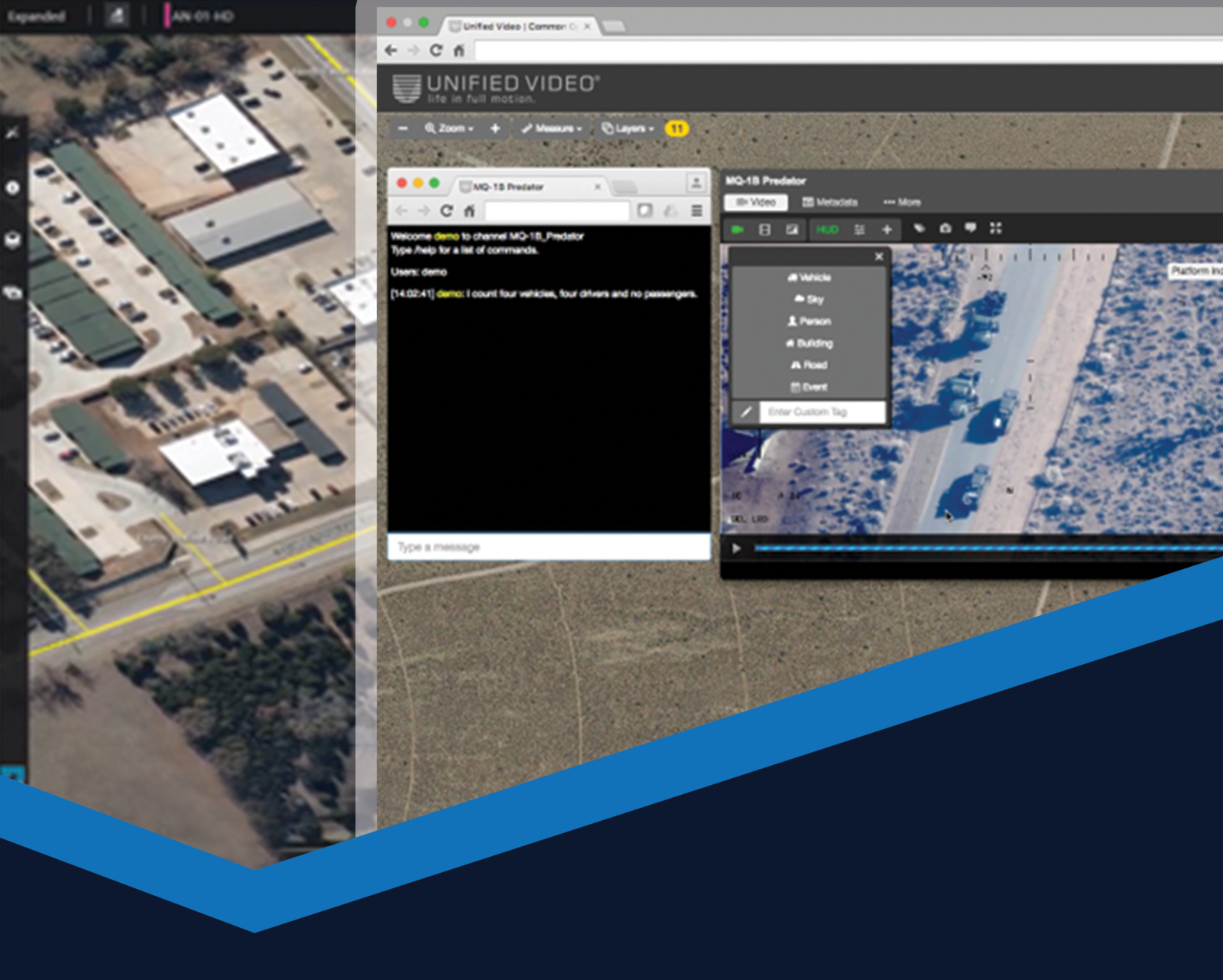
Unified Video integrates real-time video management combined with viewing and collaboration tools for a comprehensive view of full-motion video assets. It distributes over 90% of Airborne ISR data for the DOD and Intelligence Community. Unified Video is a scalable FMV and data management solution that powers metadata-rich FMV processing, storage, and dissemination in real-time from anywhere in the world. The newest version of UV brings a completely redesigned and modernized interface, improved playback performance, enhanced metrics and seemless MTI integration.
Anubis is a fully immersive FMV Processing, Exploitation, and Dissemination (PED) Solution that enables contextual awareness at the point of interest and beyond. Anubis streamlines critical workflows to enable more rapid analysis and reporting with automated secondary product creation. Anubis also integrates real-time feed management, viewing, and collaboration tools. The Anubis user experience allows a comprehensive view of full-motion video assets. Additionally, Anubis allows users to view mission critical data from widely distributed sensors on a 3-D common operating picture (COP).
Accelerate GEOINT
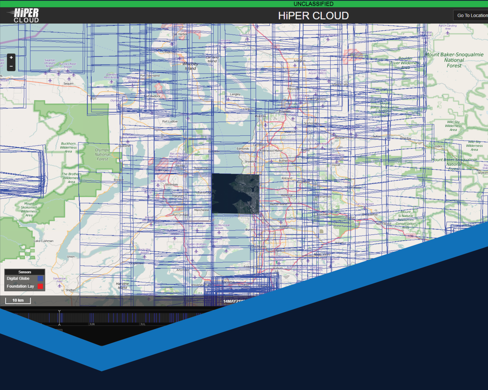
HiPER CLOUD provides rapid spatiotemporal geospatial search, discovery and visualization tools for exploiting commercial, tactical and national geospatial data. HiPER CLOUD optimizes data for low-bandwidth, high latency access and provides OGC-compliant services for streaming content and rapidly visualizing data over an area of interest. HiPER CLOUD can also export data into standard formats such as NITF, JPEG, and PNG.
Transform Tactical Data
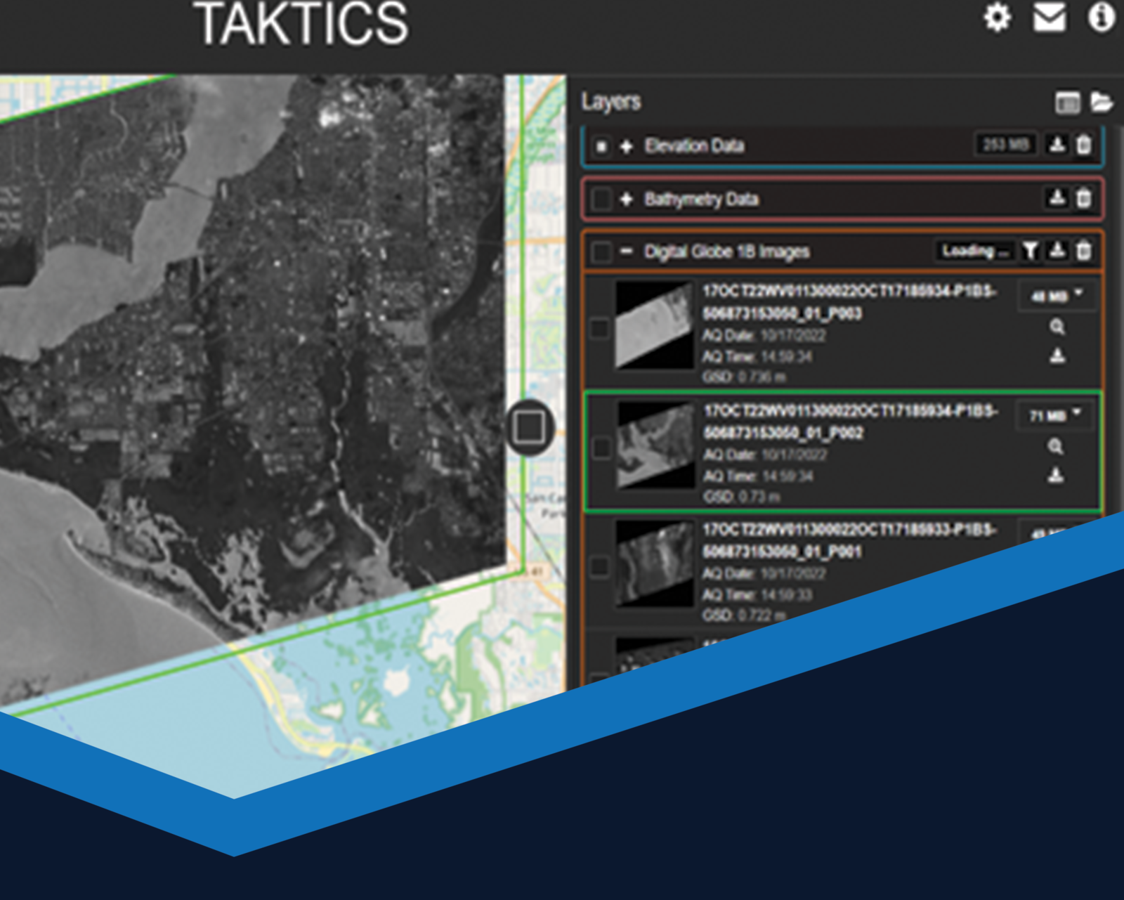
TAKTICS is a web-based tool for quickly viewing and downloading geospatial data that is formatted for mobile devices and the Team Awareness Kit (TAK) app. TAKTICS also includes other geospatial data, including terrain models, OBJs, and 3D tiles, which can be quickly export for easy integration with multiple exploitation tools.

