TAKTICS
ACCELERATE YOUR TACTICAL INSIGHTS
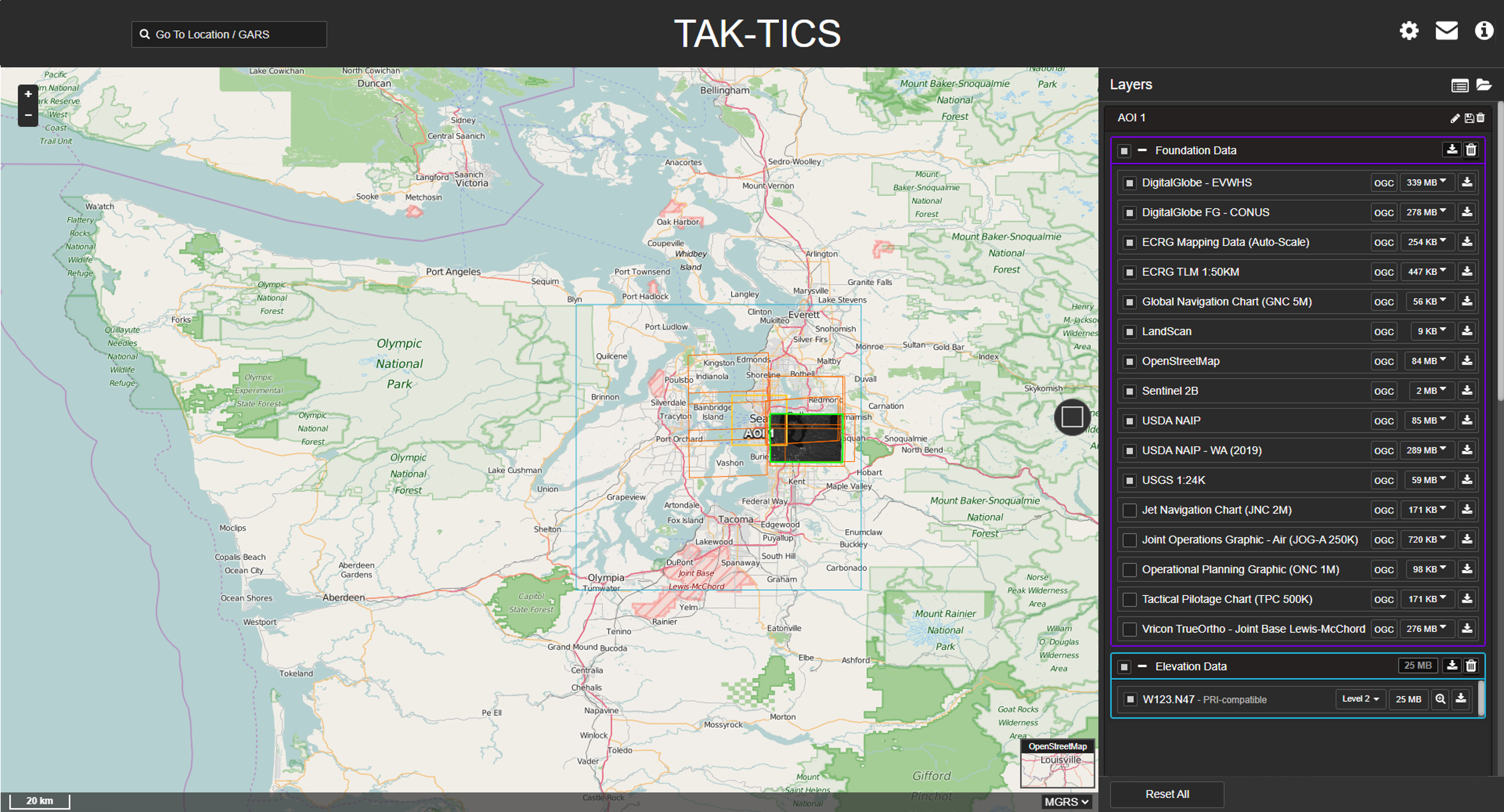
View and download tactical data sets in minutes with TAKTICS. The web-based hub allows warfighters to rapidly search, view and stream or download imagery, elevation data, and 3D content from commercial and tactical sensors, providing them with critical geospatial intelligence.

KiOSK
TAKE YOUR GEOSPATIAL DATA WHEREVER YOUR MISSION TAKES YOU.
Quickly search, access and manage large volumes of geospatial data whenever and wherever you need it with KiOSK. The "grab your device and go solution” allows users to create a fully self-contained, OGC-compliant server with the data they need in disconnected, remote locations.
HiPER LOOK
FROM THE CLOUD TO THE CARGO POCKET
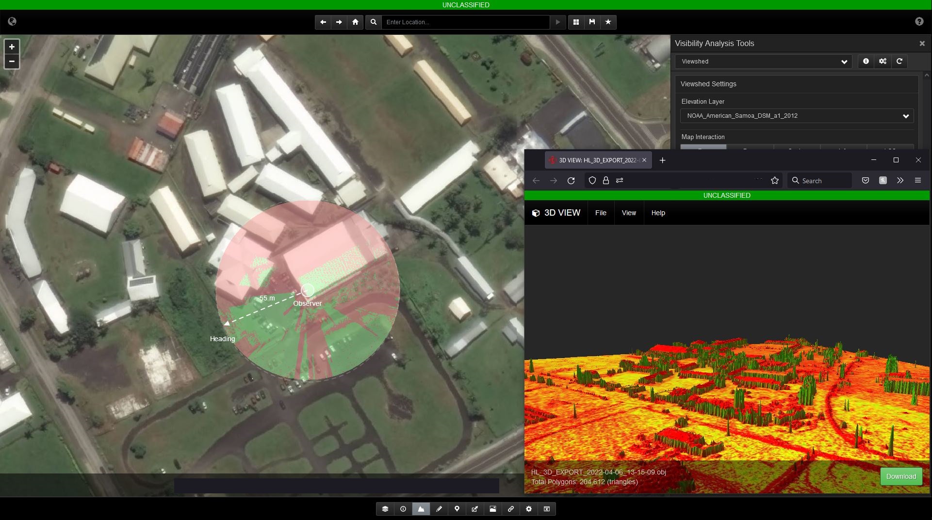
Share large volumes of geospatial imagery, map and elevation data across connected and disconnected devices and applications with HiPER LOOK. Our high-performance map server can be deployed on premises or in the cloud, bringing the tactical edge closer than ever.

HiPER CLOUD
ADVANCED SYSTEMS FOR YOUR DATA
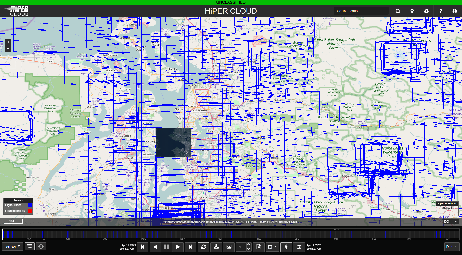
Quickly search, discover and visualize geospatial intelligence with HiPER CLOUD, an advanced data system that streams imagery as an image flipbook. With the ability to scan hundreds of images quickly and compare them to overlapping imagery for change detection, HiPER CLOUD fosters faster and more informed decision making, even in disconnected environments.


